Capture Every
Detail
With Accuracy.
Capture accurate information from existing sites and structures.
We provide precise survey, scanning and investigation services that transform existing site conditions into reliable engineering data for design, documentation and project delivery.
Capture accurate
information from every site.
Capture accurate information from existing sites and structures to support design, documentation and informed engineering decisions.
Drone
Survey
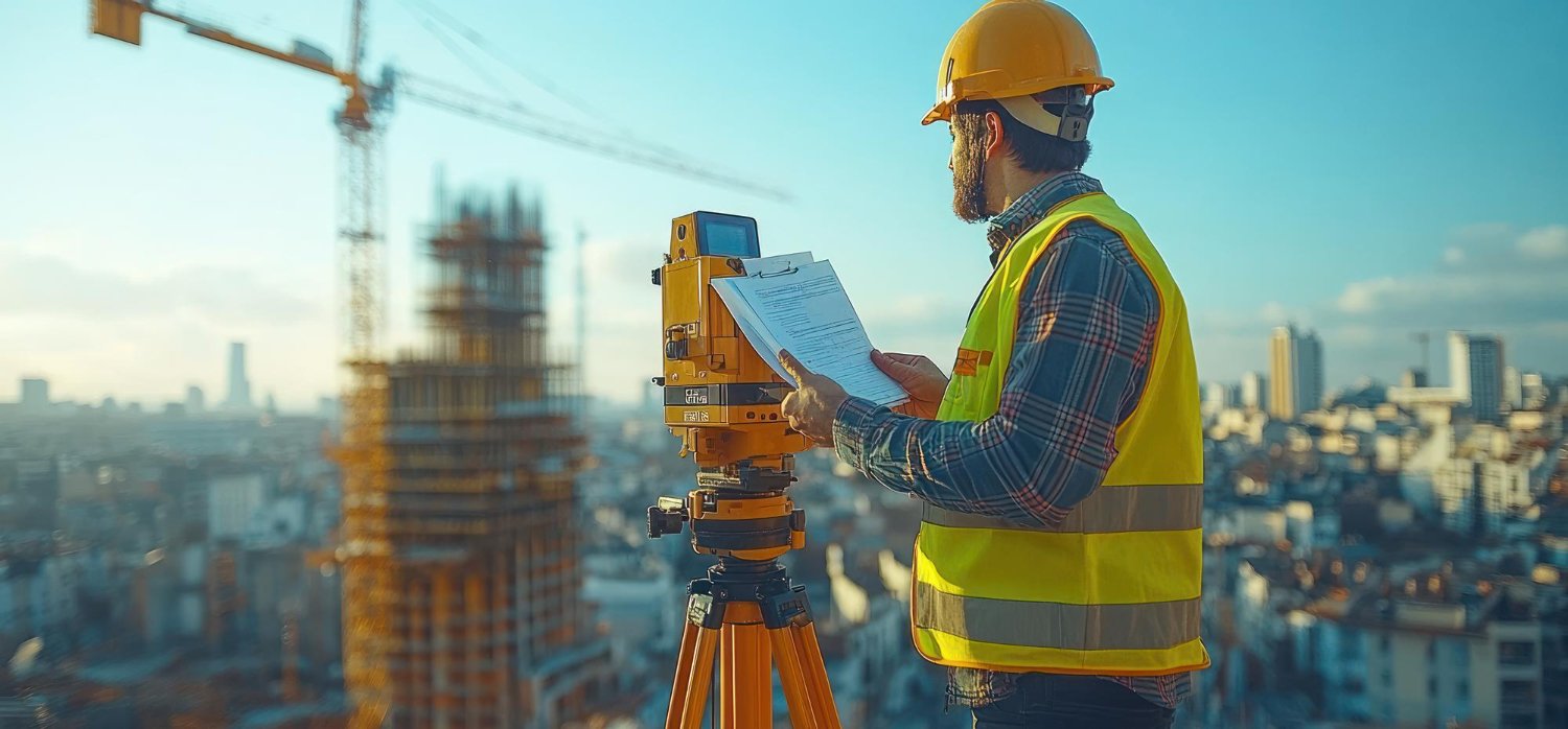
Capture high-resolution aerial information and site imagery to support mapping, inspection, planning and engineering documentation.
LiDAR
Survey
Collect precise spatial data using LiDAR technology to develop accurate representations of terrain, structures and existing site conditions.
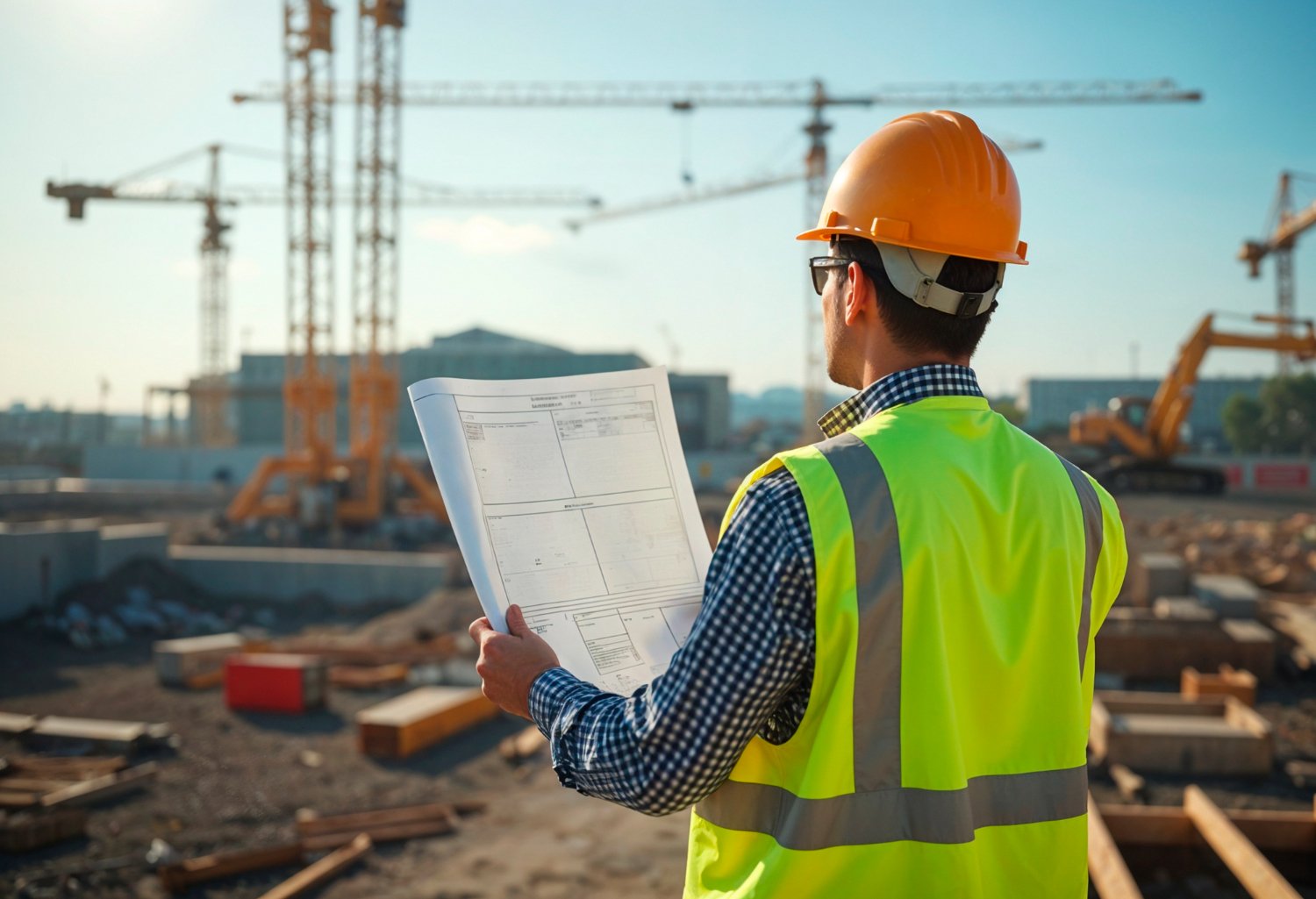
3D Laser
Scanning
Capture detailed three-dimensional information from existing structures to create accurate digital representations and point cloud data.
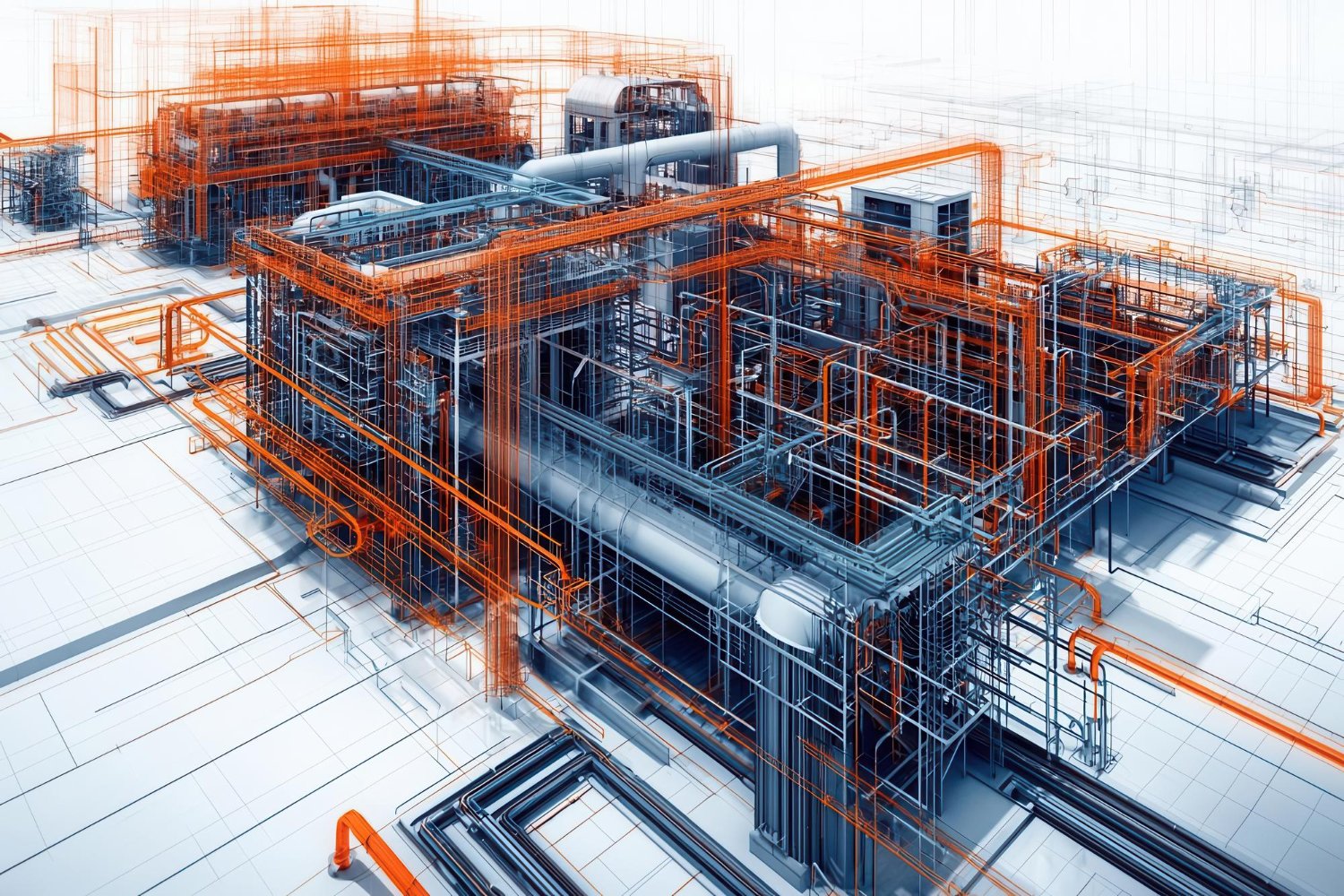
Topographical
Survey
Develop accurate topographical information that captures terrain, elevations, site features and existing conditions for engineering and design.
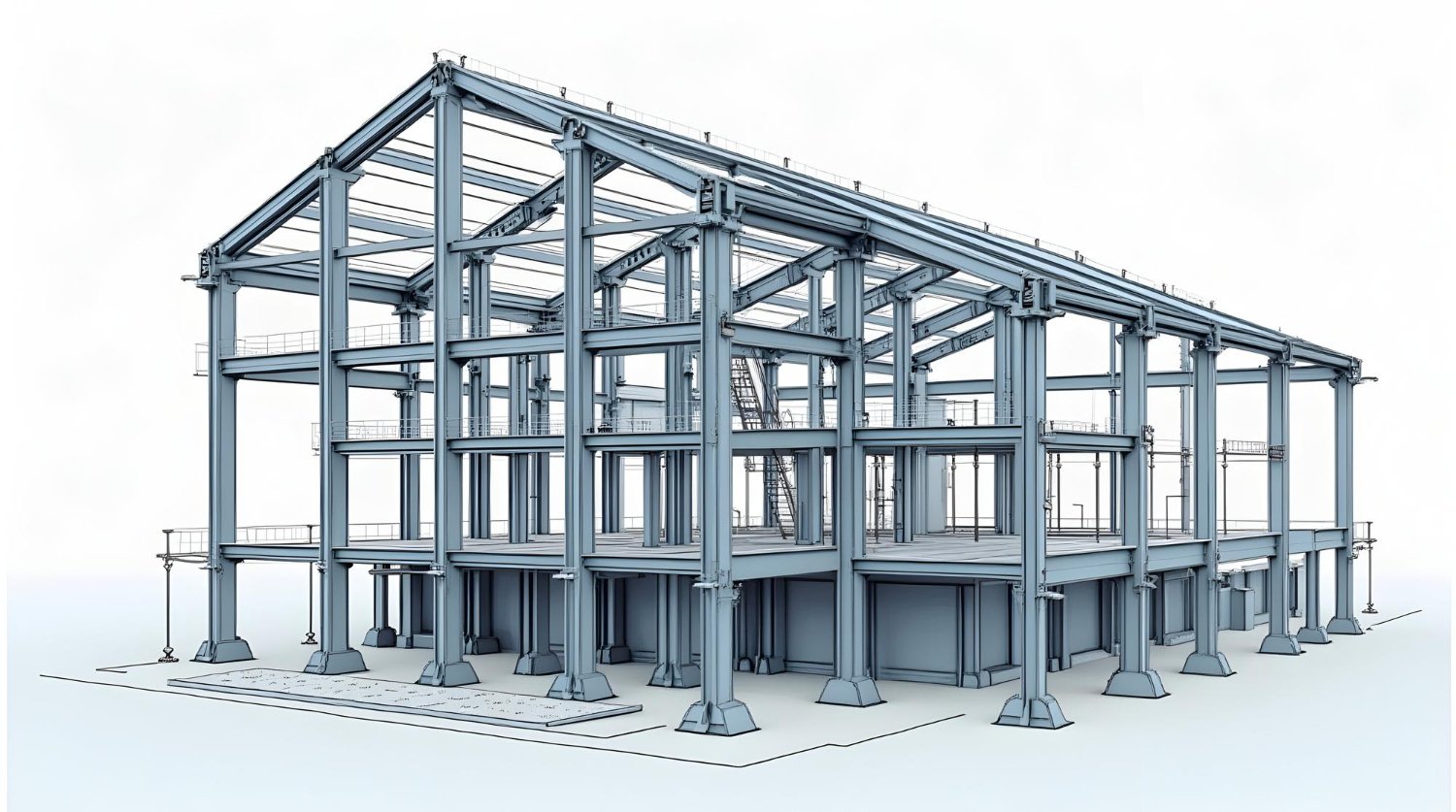
Geotechnical
Investigation
Gather essential subsurface information to support foundation design, site assessment and informed engineering decisions.
Site
Investigation
Assess existing site conditions and collect relevant field information to establish a reliable foundation for engineering and project planning.
Engineering Data
Collection
Collect, organize and document accurate engineering data from existing sites to support design, analysis, coordination and project delivery.
Capture with
precision. Understand every detail.
We capture accurate information from existing sites and structures using advanced survey, scanning and investigation techniques that provide reliable data for engineering, design and project planning.
Capture the site.
Drone Survey and Topographical Survey capture accurate site information, terrain, elevations and existing physical conditions.
Scan existing structures.
LiDAR Survey and 3D Laser Scanning generate precise spatial information and detailed digital representations of existing structures.
Investigate what lies beneath.
Geotechnical Investigation and Site Investigation provide essential information about ground conditions and existing site characteristics.
Turn field data into insight.
Engineering Data Collection organizes field information into reliable engineering data that supports design, analysis, coordination and planning.